Project Info
Project Description
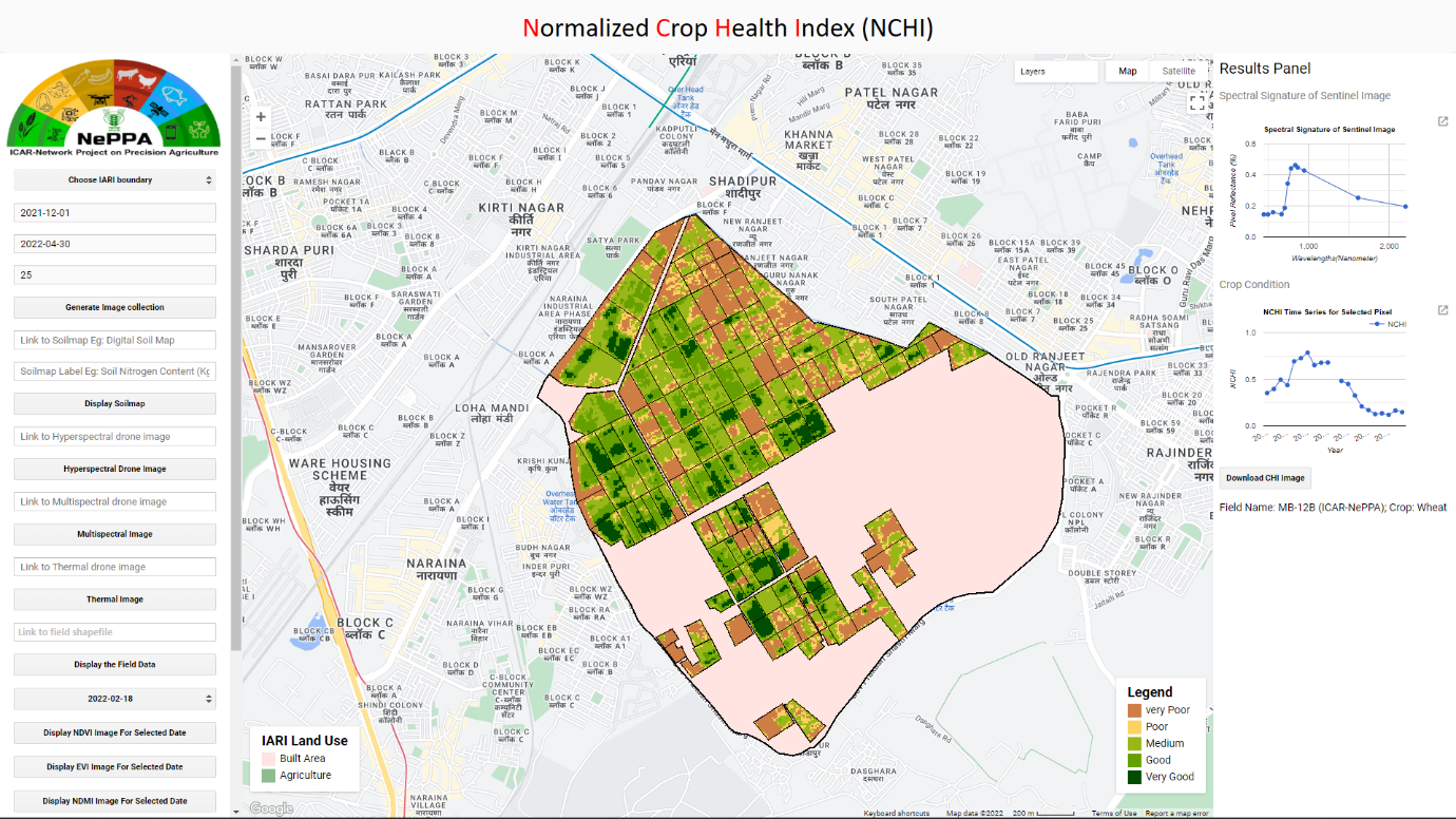
Multispectral satellite remote sensing data and vegetation indices have been commonly used by several studies to monitor crop health. Major part of such analysis is a time consuming and resource intensive process that requires skilled personnel to process huge amounts of data. Hence, the Division of Agricultural Physics, ICAR-IARI has developed “GEENCHIP” – a GUI interface gives users enough freedom to select areas of interest and time period for which the crop health condition map will be generated, under NePPA project.


