Project Info
Project Description
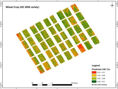
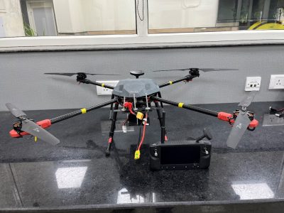
The software is capable of doing the pre-processing followed by analysis from the multi-sensor data (RGB, multispectral and hyperspectral) acquired using drone platform, such as computation of some important indices, like normalised difference vegetative index (NDVI) for the research farms and can be scaled to farmer’s field.


